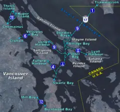
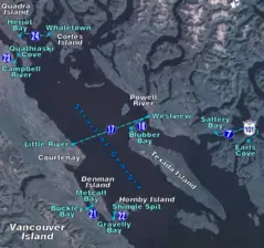
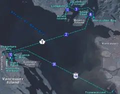
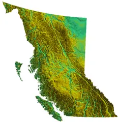
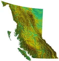
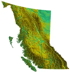
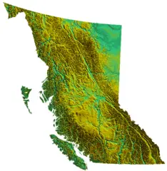
British Columbia, CA
British Columbia: Province of Canada
About
Quick Facts about British Columbia
| Population : | 4,841,078 |
| Country : | Canada |
| Head of government : | Premier of British Columbia |
| Postal code : | V |
| Phone Area Codes : | 778, 604, 236, 250 |
| Area : | 944735 km2 |
| Official name : | Colombie-Britannique, British Columbia |
| Continent : | North America |
| Easternmost point : | Point(-114.068180555 48.998858333) |
| Northernmost point : | Point(-130.0 60.0) |
| Legislative body : | Parliament of British Columbia |
| Named for : | Christopher Columbus, British Isles |
| Official language : | English |
| Capital : | Victoria |
| Establishment : | January 01, 1871 (154 years ago) |
| Time Zone : | Pacific Time Zone, America/Vancouver |
| Local time : | 08:55:54 (4th July 2025) |
Geography
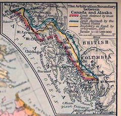
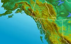
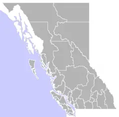
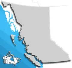
British Columbia is located at 53°59'59"N 125°0'12"W (53.999827295, -125.003201924). It has 7 neighbors: Idaho, Montana, Washington, Alaska, Alberta, Northwest Territories and Yukon.
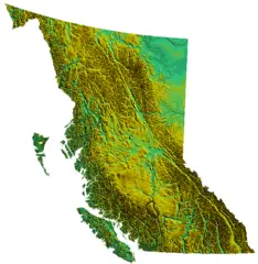
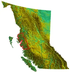
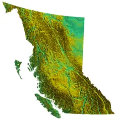
British Columbia map
The largest city of British Columbia is Abbotsford with a population of 151,683. . See all British Columbia cities & populated places.
Largest Cities in British Columbia
Cities, Towns, Villages, Neighborhoods & Other Populated Places in British Columbia.
| City Name | Title | County | Population |
|---|---|---|---|
| Abbotsford | City located in the Fraser Valley region of British Columbia | Fraser Valley Regional District | 151,683 |
| Agassiz | Fraser Valley Regional District | 4,738 |
- Official Website
Official website of British Columbia
- John Horgan , 2017-07-18T00:00:00Z
- Christy Clark , 18 July, 2017 2011-03-14T00:00:00Z
British Columbia has 7 neighbours.
- Idaho state of the United States of America
- Montana state of the United States of America
- Washington state of the United States of America
- Alaska Alaska is one of fifty states that make up the United States of America. Its capital is Juneau and its most populous city is Anchorage. It is located in the far northwest of North America, in the West region of the country, Pacific division. It borders the Arctic Ocean to the north, Canada to the east, the Pacific Ocean to the south, and the Bering Sea to the west. At 1,717,856 km² it is the largest state in the country and the seventh largest subnational entity in the world, behind the republic of Saja (Russia), Western Australia, Krai of Krasnoyarsk (Russia), Greenland (Denmark), Nunavut (Canada) and Queensland (Australia); 710,231 people in 2010,
- Alberta province of Canada
- Northwest Territories territory of Canada
- Yukon territory of Canada
Demographics
| Year | Population | % Change | Method |
| 1851 | 55,000 | - | census |
| 1871 | 36,247 | -51.74% | census |
| 1881 | 49,459 | 26.71% | census |
| 1891 | 98,173 | 49.62% | census |
| 1901 | 178,657 | 45.05% | census |
| 1911 | 392,480 | 54.48% | census |
| 1921 | 524,582 | 25.18% | census |
| 1931 | 694,263 | 24.44% | census |
| 1941 | 817,861 | 15.11% | census |
| 1956 | 1,398,464 | 41.52% | census |
| 1961 | 1,629,082 | 14.16% | census |
| 1966 | 1,873,674 | 13.05% | census |
| 1971 | 2,184,621 | 14.23% | census |
| 1974 | 51,524 | -4140.01% | 1861-01-01T00:00:00Z |
| 1976 | 2,466,608 | 97.91% | census |
| 2011 | 4,400,057 | 43.94% | census |
| 2015 | 4,659,272 | 5.56% | estimation process |
| 2016 | 4,648,055 | -0.24% | census |
| 2017 | 4,841,078 | 3.99% | estimation process |
British Columbia, Colombie-Britannique, Columbia Britanica, Colúmbia Britànica
British Columbia Counties
| County Name | Population |
|---|
