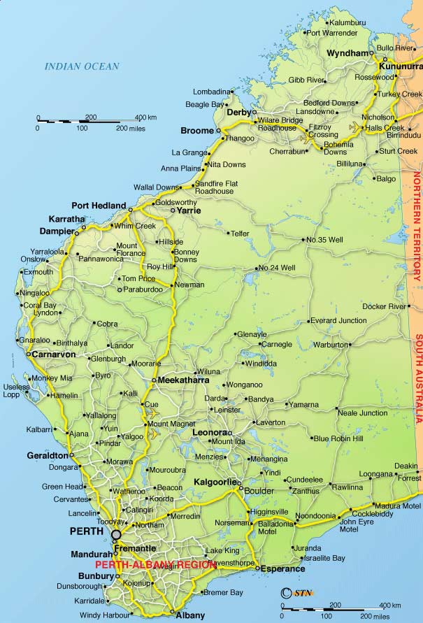
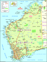
Detailed Map of Western Australia
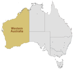
Western Australia is Australia’s largest state, spanning the entire western third of the continent. Exploring a detailed map of Western Australia provides insight into its geography and settlement patterns.
Regions
Western Australia can be divided into several geographical regions:
- The Kimberley - Rugged northern region with a tropical climate.
- The Pilbara - Hot, dry region containing mineral deposits and Aboriginal settlements.
- The Gascoyne - Transition zone from the arid interior to the more temperate south.
- Mid West - Inland region with pastoral farming.
- The Goldfields - Mining region containing deposits of gold, nickel and iron ore.
- The Wheatbelt - Vast agricultural region utilizing Mediterranean climate.
- The South West - Most heavily populated corner of the state. Mild, wet winters.
Major Cities
The two largest metro areas in Western Australia are:
- Perth - Capital and primate city located along the Swan River.
- Bunbury - Port city that serves as gateway to the South West region.
Landmarks
Famous landmarks include:
- Karijini National Park - Rugged gorges and waterfalls.
- Margaret River - Known for wine regions, beaches and caves.
- Wave Rock - Precambrian formation shaped like a breaking wave.
In summary, Western Australia’s detailed map showcases its massive yet diverse territory and settlement patterns based on climate and resources.
